
Thank you for supporting this site ❤️
Make a donation
Make a donation
Altit topographic map
Click on the map to display elevation.
Thank you for supporting this site ❤️
Make a donation
Make a donation
About this map
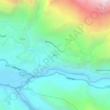
Name: Altit topographic map, elevation, terrain.
Location: Altit, Hunza District, Gilgit-Baltistan, 15700, Pakistan (36.29993 74.66352 36.33993 74.70352)
Average elevation: 2,610 m
Minimum elevation: 2,066 m
Maximum elevation: 4,140 m
Thank you for supporting this site ❤️
Make a donation
Make a donation