
Arànser topographic map
Interactive map
Click on the map to display elevation.
About this map
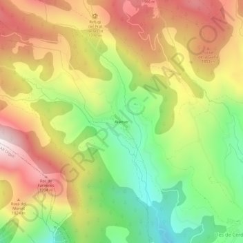
Name: Arànser topographic map, elevation, terrain.
Location: Arànser, Lles de Cerdanya, Cerdaña, Cataluña, 25726, España (42.38824 1.64239 42.42824 1.68239)
Average elevation: 1,647 m
Minimum elevation: 1,218 m
Maximum elevation: 2,093 m