
Khettouti Sed El Djir topographic map
Interactive map
Click on the map to display elevation.
About this map
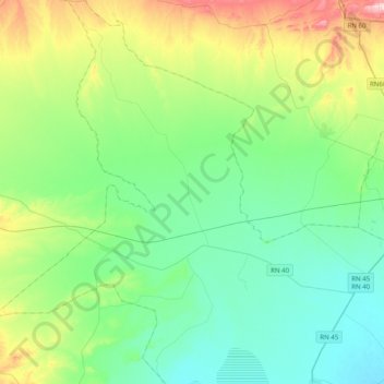
Name: Khettouti Sed El Djir topographic map, elevation, terrain.
Location: Khettouti Sed El Djir, Daïra Chellal, M'Sila, Algérie (35.51779 4.05192 35.84030 4.34084)
Average elevation: 490 m
Minimum elevation: 402 m
Maximum elevation: 754 m
Other topographic maps
Click on a map to view its topography, its elevation and its terrain.
Retba
Algérie > M'Sila > Daïra Chellal > Maarif
Retba, Maarif, Daïra Chellal, M'Sila, Algérie
Average elevation: 420 m