
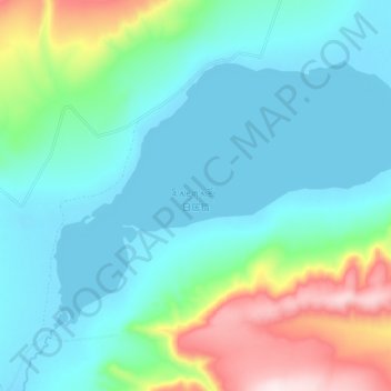
日居错 topographic map
Interactive map
Click on the map to display elevation.
About this map
Name: 日居错 topographic map, elevation, terrain.
Location: 日居错, 色务乡, 安多县, 那曲市, 西藏自治区, 中国 (33.76275 90.30800 33.82575 90.41675)
Average elevation: 5,080 m
Minimum elevation: 4,955 m
Maximum elevation: 5,506 m