
武功山镇 topographic map
Interactive map
Click on the map to display elevation.
About this map
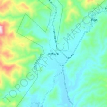
Name: 武功山镇 topographic map, elevation, terrain.
Location: 武功山镇, 吉安市, 江西省, 中国 (27.40485 114.23422 27.48485 114.31422)
Average elevation: 331 m
Minimum elevation: 159 m
Maximum elevation: 955 m
Other topographic maps
Click on a map to view its topography, its elevation and its terrain.