
Lauzière topographic map
Interactive map
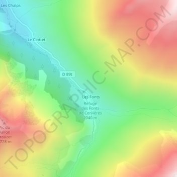
Click on the map to display elevation.
About this map
Name: Lauzière topographic map, elevation, terrain.
Average elevation: 2,324 m
Minimum elevation: 1,942 m
Maximum elevation: 2,808 m
Other topographic maps
Click on a map to view its topography, its elevation and its terrain.
Refuge des Fonts de Cervières
France > Provence-Alpes-Côte d'Azur > Hautes-Alpes > Cervières > Les Fonts
Refuge des Fonts de Cervières, D 89t, Les Fonts, Cervières, Briançon, Hautes-Alpes, Provence-Alpes-Côte d'Azur, France métropolitaine, 05100, France
Average elevation: 2,330 m