
Thank you for supporting this site ❤️
Make a donation
Make a donation
Langenchursdorf topographic map
Click on the map to display elevation.
Thank you for supporting this site ❤️
Make a donation
Make a donation
About this map
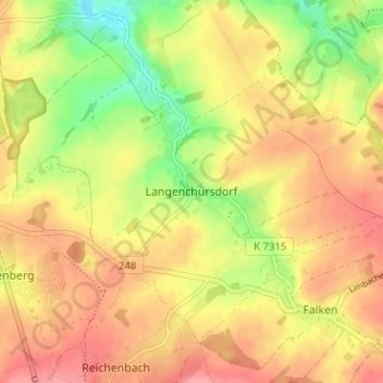
Name: Langenchursdorf topographic map, elevation, terrain.
Average elevation: 318 m
Minimum elevation: 267 m
Maximum elevation: 355 m
Thank you for supporting this site ❤️
Make a donation
Make a donation
Other topographic maps
Click on a map to view its topography, its elevation and its terrain.
Lichtenstein/Sachsen
Deutschland > Sachsen > Zwickau > Lichtenstein/Sachsen
Lichtenstein liegt zwischen Chemnitz ca. 29 km östlich und Zwickau ca. 12 km westlich. Lichtenstein liegt nördlich des Westerzgebirges auf einer Höhe von 288 bis 428 m ü. NN. Südlich der Stadt befindet sich die Alberthöhe, auf der sich ein Aussichtsturm befindet.
Average elevation: 359 m
Thank you for supporting this site ❤️
Make a donation
Make a donation