
A Covela topographic map
Interactive map
Click on the map to display elevation.
About this map
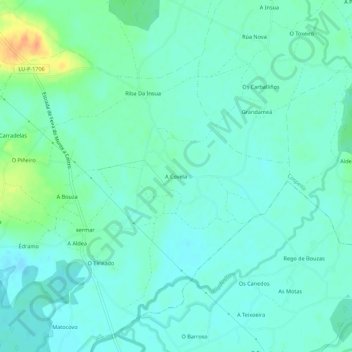
Name: A Covela topographic map, elevation, terrain.
Location: A Covela, Lugo, Galicia, 27267, Spain (43.18952 -7.53518 43.22952 -7.49518)
Average elevation: 398 m
Minimum elevation: 388 m
Maximum elevation: 427 m