
Gorilla Circus Regents Park Flying Trapeze School topographic map
Interactive map
Click on the map to display elevation.
About this map
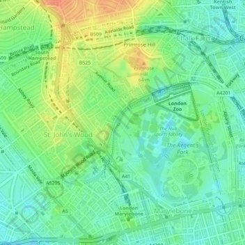
Name: Gorilla Circus Regents Park Flying Trapeze School topographic map, elevation, terrain.
Average elevation: 41 m
Minimum elevation: 24 m
Maximum elevation: 68 m