
Saint Catherine topographic map
Interactive map
Click on the map to display elevation.
About this map
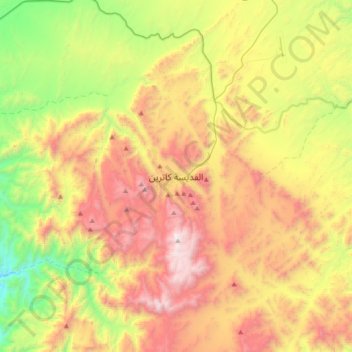
Name: Saint Catherine topographic map, elevation, terrain.
Location: Saint Catherine, South Sinai, Egypt (28.40751 33.79356 28.72751 34.11356)
Average elevation: 1,472 m
Minimum elevation: 520 m
Maximum elevation: 2,629 m