
La Combe-Jeanneret topographic map
Interactive map
Click on the map to display elevation.
About this map
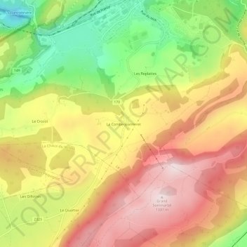
Name: La Combe-Jeanneret topographic map, elevation, terrain.
Location: La Combe-Jeanneret, Le Locle, Neuchâtel, 2400, Suisse (47.01498 6.72177 47.05498 6.76177)
Average elevation: 1,099 m
Minimum elevation: 828 m
Maximum elevation: 1,330 m
Other topographic maps
Click on a map to view its topography, its elevation and its terrain.
Les Brenets
Les Brenets, Le Locle, Neuchâtel, 2416, Suisse
Average elevation: 941 m