
Thank you for supporting this site ❤️
Make a donation
Make a donation
Sint-Amands topographic map
Click on the map to display elevation.
Thank you for supporting this site ❤️
Make a donation
Make a donation
About this map
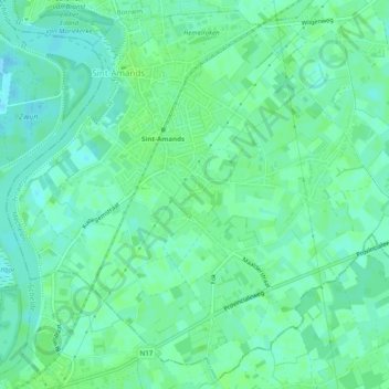
Name: Sint-Amands topographic map, elevation, terrain.
Average elevation: 5 m
Minimum elevation: -2 m
Maximum elevation: 9 m
Thank you for supporting this site ❤️
Make a donation
Make a donation
Other topographic maps
Click on a map to view its topography, its elevation and its terrain.
Vliet
België > Antwerpen > Mechelen > Puurs-Sint-Amands > Oppuurs
De Vliet ontstaat iets ten zuiden van de plaats Oppuurs door de samenvloeiing van de Klaverbeek en de Lippelose Beek. De Klaverbeek ontspringt ter hoogte van Buggenhout. De Lippelose Beek gaat stroomopwaarts over in de Grote Molenbeek welke nabij het Vlaams-Brabantse Kobbegem ontspringt.
Average elevation: 4 m
Thank you for supporting this site ❤️
Make a donation
Make a donation