
Corani topographic map
Interactive map
Click on the map to display elevation.
About this map
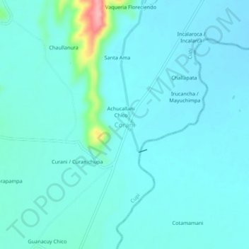
Name: Corani topographic map, elevation, terrain.
Location: Corani, Melgar, Puno, Perú (-14.89825 -70.84528 -14.85825 -70.80528)
Average elevation: 3,941 m
Minimum elevation: 3,926 m
Maximum elevation: 4,044 m