
Thank you for supporting this site ❤️
Make a donation
Make a donation
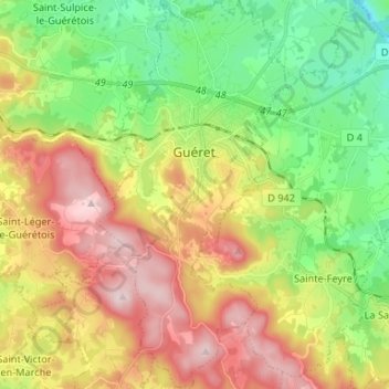
Guéret topographic map
Click on the map to display elevation.
Thank you for supporting this site ❤️
Make a donation
Make a donation
Guéret
Guéret has an oceanic climate (Köppen Cfb) influenced by its elevation and proximity to the Bay of Biscay's maritime inflow of Gulf Stream air. As a result, the climate is mild for its latitude, wet and also relatively gloomy.
Thank you for supporting this site ❤️
Make a donation
Make a donation
About this map
Name: Guéret topographic map, elevation, terrain.
Average elevation: 473 m
Minimum elevation: 308 m
Maximum elevation: 689 m
Thank you for supporting this site ❤️
Make a donation
Make a donation