
Kasai-Oriental topographic map
Interactive map
Click on the map to display elevation.
About this map
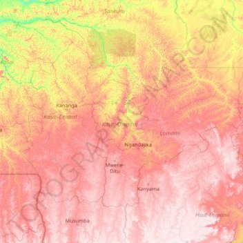
Name: Kasai-Oriental topographic map, elevation, terrain.
Location: Kasai-Oriental, Democratic Republic of the Congo (-8.75363 20.99605 -3.55363 26.19605)
Average elevation: 713 m
Minimum elevation: 359 m
Maximum elevation: 1,170 m
Other topographic maps
Click on a map to view its topography, its elevation and its terrain.