
Saint-Antonin-Noble-Val topographic map
Interactive map
Click on the map to display elevation.
About this map
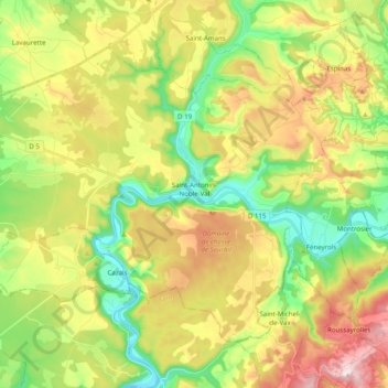
Name: Saint-Antonin-Noble-Val topographic map, elevation, terrain.
Average elevation: 281 m
Minimum elevation: 106 m
Maximum elevation: 523 m
Other topographic maps
Click on a map to view its topography, its elevation and its terrain.
Auvillar
France > Occitanie > Tarn-et-Garonne
Auvillar, Castelsarrasin, Tarn-et-Garonne, Occitanie, France métropolitaine, 82340, France
Average elevation: 96 m