
Thank you for supporting this site ❤️
Make a donation
Make a donation
Clarendon Parish topographic map
Click on the map to display elevation.
Thank you for supporting this site ❤️
Make a donation
Make a donation
About this map
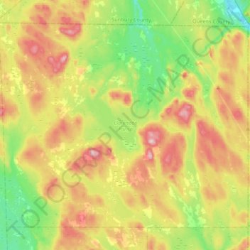
Name: Clarendon Parish topographic map, elevation, terrain.
Location: Clarendon Parish, Charlotte County, New Brunswick, Canada (45.31269 -66.78816 45.50184 -66.45944)
Average elevation: 160 m
Minimum elevation: 34 m
Maximum elevation: 335 m
Thank you for supporting this site ❤️
Make a donation
Make a donation