
Rainelle topographic map
Interactive map
Click on the map to display elevation.
About this map
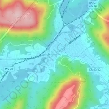
Name: Rainelle topographic map, elevation, terrain.
Location: Rainelle, Greenbrier County, West Virginia, United States (37.96170 -80.78740 37.97574 -80.75441)
Average elevation: 791 m
Minimum elevation: 722 m
Maximum elevation: 969 m