
Make a donation
Mount Everest topographic map
Click on the map to display elevation.
Make a donation
Mount Everest
Mount Everest attracts many climbers, including highly experienced mountaineers. There are two main climbing routes, one approaching the summit from the southeast in Nepal (known as the standard route) and the other from the north in Tibet. While not posing substantial technical climbing challenges on the standard route, Everest presents dangers such as altitude sickness, weather, and wind, as well as hazards from avalanches and the Khumbu Icefall. As of May 2024, 340 people have died on Everest. Over 200 bodies remain on the mountain and have not been removed due to the dangerous conditions.
Make a donation
About this map
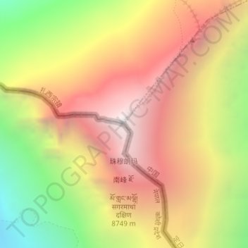
Name: Mount Everest topographic map, elevation, terrain.
Average elevation: 7,847 m
Minimum elevation: 6,597 m
Maximum elevation: 8,849 m
Make a donation
Other topographic maps
Click on a map to view its topography, its elevation and its terrain.