
Tit topographic map
Interactive map
Click on the map to display elevation.
About this map
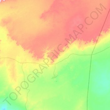
Name: Tit topographic map, elevation, terrain.
Location: Tit, Daïra d'Aoulef, Adrar, 1031, Algérie (26.78899 1.28069 27.26586 1.77457)
Average elevation: 310 m
Minimum elevation: 231 m
Maximum elevation: 427 m