
Beaufort topographic map
Interactive map
Click on the map to display elevation.
About this map
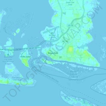
Name: Beaufort topographic map, elevation, terrain.
Location: Beaufort, Carteret County, North Carolina, United States (34.67806 -76.69916 34.75806 -76.61916)
Average elevation: 1 m
Minimum elevation: -2 m
Maximum elevation: 11 m