
Chiconi topographic map
Interactive map
Click on the map to display elevation.
About this map
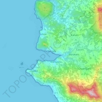
Name: Chiconi topographic map, elevation, terrain.
Location: Chiconi, Mayotte, 97670, France (-12.87654 45.07273 -12.79654 45.15273)
Average elevation: 90 m
Minimum elevation: 0 m
Maximum elevation: 555 m