
Sebaa topographic map
Interactive map
Click on the map to display elevation.
About this map
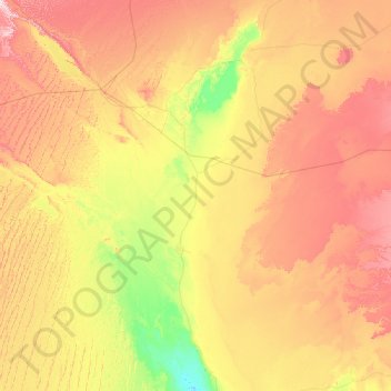
Name: Sebaa topographic map, elevation, terrain.
Location: Sebaa, Daïra de Tsabit, Adrar, Algérie (28.01162 -2.67190 28.48265 0.39581)
Average elevation: 321 m
Minimum elevation: 149 m
Maximum elevation: 647 m