
窑子头村 topographic map
Interactive map
Click on the map to display elevation.
About this map
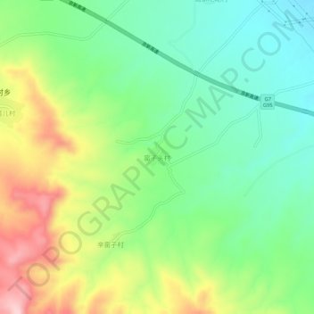
Name: 窑子头村 topographic map, elevation, terrain.
Location: 窑子头村, 张家口市, 河北省, 中国 (40.55991 114.89039 40.59991 114.93039)
Average elevation: 743 m
Minimum elevation: 649 m
Maximum elevation: 904 m