
Ravelo topographic map
Interactive map
Click on the map to display elevation.
About this map
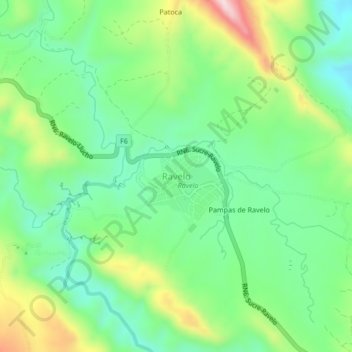
Name: Ravelo topographic map, elevation, terrain.
Location: Ravelo, Provincia Chayanta, Potosí, Bolivia (-18.82630 -65.53175 -18.78630 -65.49175)
Average elevation: 3,248 m
Minimum elevation: 3,114 m
Maximum elevation: 3,511 m