
Ala-Buka topographic map
Interactive map
Click on the map to display elevation.
About this map
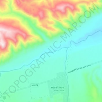
Name: Ala-Buka topographic map, elevation, terrain.
Location: Ala-Buka, Ак-Талаа району, Gebiet Naryn, Kirgisistan (41.24448 74.49054 41.26913 74.57225)
Average elevation: 1,934 m
Minimum elevation: 1,727 m
Maximum elevation: 2,464 m