
Grandview topographic map
Interactive map
Click on the map to display elevation.
About this map
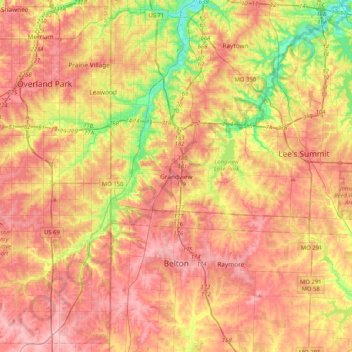
Name: Grandview topographic map, elevation, terrain.
Location: Grandview, Jackson County, Missouri, 64030, United States (38.72985 -94.69138 39.04985 -94.37138)
Average elevation: 297 m
Minimum elevation: 227 m
Maximum elevation: 347 m