
闪电河乡 topographic map
Interactive map
Click on the map to display elevation.
About this map
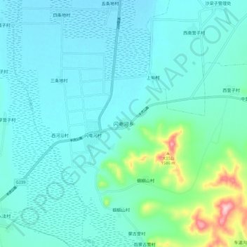
Name: 闪电河乡 topographic map, elevation, terrain.
Location: 闪电河乡, 沽源县, 张家口市, 中国 (41.66670 115.76509 41.74670 115.84509)
Average elevation: 1,418 m
Minimum elevation: 1,384 m
Maximum elevation: 1,608 m