
Thank you for supporting this site ❤️
Make a donation
Make a donation
Torre topographic map
Click on the map to display elevation.
Thank you for supporting this site ❤️
Make a donation
Make a donation
About this map
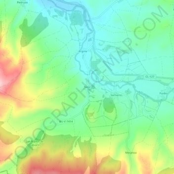
Name: Torre topographic map, elevation, terrain.
Location: Torre, Condado de Treviño, Burgos, Castilië en León, Spanje (42.67401 -2.69348 42.71401 -2.65348)
Average elevation: 628 m
Minimum elevation: 555 m
Maximum elevation: 770 m
Thank you for supporting this site ❤️
Make a donation
Make a donation