
陈家埭 topographic map
Interactive map
Click on the map to display elevation.
About this map
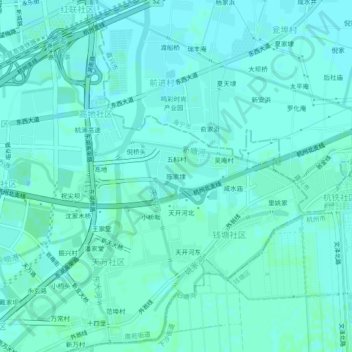
Name: 陈家埭 topographic map, elevation, terrain.
Location: 陈家埭, 南苑街道, 临平区, 杭州市, 浙江省, 中国 (30.35425 120.30350 30.39425 120.34350)
Average elevation: 7 m
Minimum elevation: 5 m
Maximum elevation: 9 m
Other topographic maps
Click on a map to view its topography, its elevation and its terrain.