
Fuhlsbüttel topographic map
Interactive map
Click on the map to display elevation.
About this map
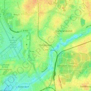
Name: Fuhlsbüttel topographic map, elevation, terrain.
Location: Fuhlsbüttel, Hamburg-Nord, Hambourg, Allemagne (53.61437 9.95633 53.64972 10.03666)
Average elevation: 19 m
Minimum elevation: 4 m
Maximum elevation: 35 m
Other topographic maps
Click on a map to view its topography, its elevation and its terrain.
Binnenalster
Allemagne > Hambourg > Hambourg
Binnenalster, Ballindamm, Hamburg-Altstadt, Hamburg-Mitte, Hambourg, 20095, Allemagne
Average elevation: 13 m
Bahrenfeld
Allemagne > Hambourg > Hambourg
Bahrenfeld, Altona, Hambourg, 22761, Allemagne
Average elevation: 29 m