
Thank you for supporting this site ❤️
Make a donation
Make a donation
Möschwitz topographic map
Click on the map to display elevation.
Thank you for supporting this site ❤️
Make a donation
Make a donation
About this map
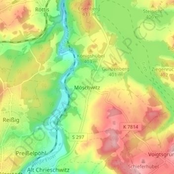
Name: Möschwitz topographic map, elevation, terrain.
Location: Möschwitz, Pöhl, Vogtlandkreis, Sachsen, 08543, Deutschland (50.50955 12.15693 50.54955 12.19693)
Average elevation: 383 m
Minimum elevation: 312 m
Maximum elevation: 460 m
Thank you for supporting this site ❤️
Make a donation
Make a donation