
Challhuamayo topographic map
Interactive map
Click on the map to display elevation.
About this map
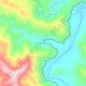
Name: Challhuamayo topographic map, elevation, terrain.
Location: Challhuamayo, Ayapata, Provincia de Carabaya, Puno, Perú (-13.37878 -70.37009 -13.33878 -70.33009)
Average elevation: 574 m
Minimum elevation: 385 m
Maximum elevation: 941 m