
Thank you for supporting this site ❤️
Make a donation
Make a donation
Mill Creek Point topographic map
Click on the map to display elevation.
Thank you for supporting this site ❤️
Make a donation
Make a donation
About this map
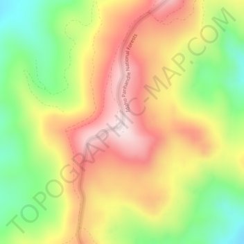
Name: Mill Creek Point topographic map, elevation, terrain.
Average elevation: 1,275 m
Minimum elevation: 1,038 m
Maximum elevation: 1,498 m
Thank you for supporting this site ❤️
Make a donation
Make a donation
Other topographic maps
Click on a map to view its topography, its elevation and its terrain.
Kalispel Reservation
United States > Washington > Pend Oreille County > Airway Heights
Average elevation: 801 m
Thank you for supporting this site ❤️
Make a donation
Make a donation