
Thank you for supporting this site ❤️
Make a donation
Make a donation
Manhattan topographic map
Click on the map to display elevation.
Thank you for supporting this site ❤️
Make a donation
Make a donation
About this map
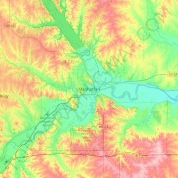
Name: Manhattan topographic map, elevation, terrain.
Location: Manhattan, Riley County, Kansas, 66502-6322, United States (39.02361 -96.73167 39.34361 -96.41167)
Average elevation: 365 m
Minimum elevation: 294 m
Maximum elevation: 464 m
Thank you for supporting this site ❤️
Make a donation
Make a donation