
Nganjuk topographic map
Interactive map
Click on the map to display elevation.
About this map
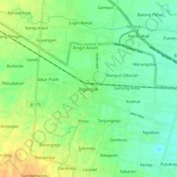
Name: Nganjuk topographic map, elevation, terrain.
Location: Nganjuk, Ost-Java, 64414, Indonesien (-7.64236 111.86106 -7.56236 111.94106)
Average elevation: 57 m
Minimum elevation: 44 m
Maximum elevation: 74 m