
Morni topographic map
Interactive map
Click on the map to display elevation.
About this map
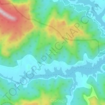
Name: Morni topographic map, elevation, terrain.
Location: Morni, Satara, Maharashtra, India (17.71270 73.61273 17.75270 73.65273)
Average elevation: 765 m
Minimum elevation: 634 m
Maximum elevation: 1,114 m