
Babati topographic map
Interactive map
Click on the map to display elevation.
About this map
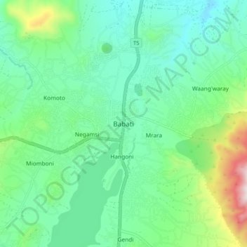
Name: Babati topographic map, elevation, terrain.
Location: Babati, Manyara, Northern Zone, Tanzanie (-4.25006 35.70915 -4.17006 35.78915)
Average elevation: 1,392 m
Minimum elevation: 1,206 m
Maximum elevation: 1,963 m