
Rendo topographic map
Interactive map
Click on the map to display elevation.
About this map
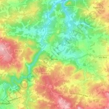
Name: Rendo topographic map, elevation, terrain.
Location: Rendo, Sabugal, Guarda, Centro, Portugal (40.34798 -7.06865 40.42000 -7.00899)
Average elevation: 775 m
Minimum elevation: 694 m
Maximum elevation: 874 m