
Étalle topographic map
Interactive map
Click on the map to display elevation.
About this map
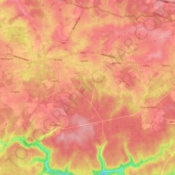
Name: Étalle topographic map, elevation, terrain.
Location: Étalle, Virton, Luxembourg, Wallonie, Belgique (49.62600 5.57499 49.69704 5.65030)
Average elevation: 341 m
Minimum elevation: 261 m
Maximum elevation: 369 m