
Branchon topographic map
Interactive map
Click on the map to display elevation.
About this map
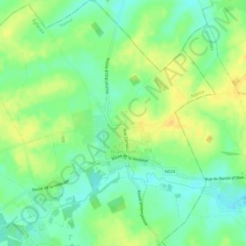
Name: Branchon topographic map, elevation, terrain.
Location: Branchon, Éghezée, Namen, Wallonië, 5310, België (50.61803 4.94263 50.64833 4.98990)
Average elevation: 140 m
Minimum elevation: 127 m
Maximum elevation: 153 m