
Mechi topographic map
Interactive map
Click on the map to display elevation.
About this map
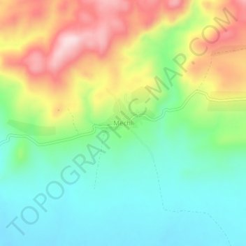
Name: Mechi topographic map, elevation, terrain.
Location: Mechi, Jimma, Oromia Region, Ethiopia (7.49979 36.33018 7.53979 36.37018)
Average elevation: 1,482 m
Minimum elevation: 1,356 m
Maximum elevation: 1,690 m