
Thank you for supporting this site ❤️
Make a donation
Make a donation
Samai topographic map
Click on the map to display elevation.
Thank you for supporting this site ❤️
Make a donation
Make a donation
About this map
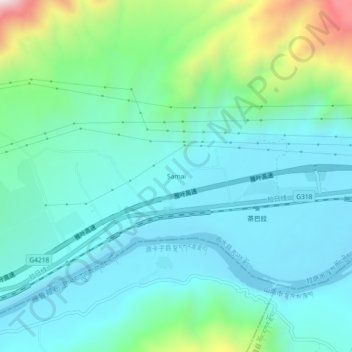
Name: Samai topographic map, elevation, terrain.
Location: Samai, 茶巴拉乡, 曲水县, 拉萨市, 西藏自治区, 中国 (29.24301 90.46142 29.28301 90.50142)
Average elevation: 3,760 m
Minimum elevation: 3,607 m
Maximum elevation: 4,338 m
Thank you for supporting this site ❤️
Make a donation
Make a donation