
达布逊湖 topographic map
Interactive map
Click on the map to display elevation.
About this map
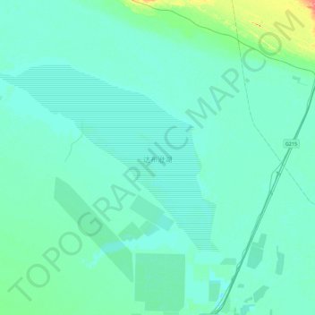
Name: 达布逊湖 topographic map, elevation, terrain.
Location: 达布逊湖, 察尔汗行政委员会, 格尔木市, 海西蒙古族藏族自治州, 青海省, 中国 (36.86198 94.84802 37.07399 95.29376)
Average elevation: 2,684 m
Minimum elevation: 2,675 m
Maximum elevation: 2,754 m
Other topographic maps
Click on a map to view its topography, its elevation and its terrain.