
Boirs topographic map
Interactive map
Click on the map to display elevation.
About this map
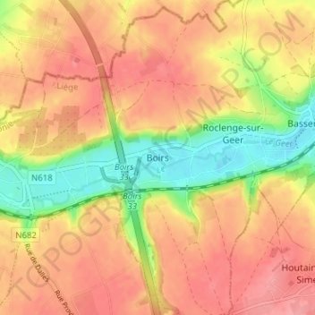
Name: Boirs topographic map, elevation, terrain.
Location: Boirs, Bassenge, Liège, Wallonie, 4690, Belgique (50.73396 5.55912 50.77396 5.59912)
Average elevation: 125 m
Minimum elevation: 72 m
Maximum elevation: 158 m