
大竹县 topographic map
Interactive map
Click on the map to display elevation.
About this map
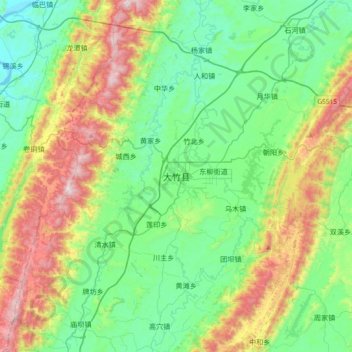
Name: 大竹县 topographic map, elevation, terrain.
Location: 大竹县, 竹阳街道, 大竹县, 达州市, 四川省, 中国 (30.57920 107.04114 30.89920 107.36114)
Average elevation: 512 m
Minimum elevation: 232 m
Maximum elevation: 1,162 m