
Thank you for supporting this site ❤️
Make a donation
Make a donation
Schulensmeer topographic map
Click on the map to display elevation.
Thank you for supporting this site ❤️
Make a donation
Make a donation
About this map
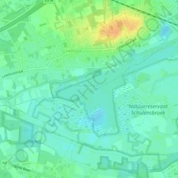
Name: Schulensmeer topographic map, elevation, terrain.
Location: Schulensmeer, Linkhout, Lummen, Hasselt, Limburg, 3560, België (50.95402 5.13324 50.96706 5.16432)
Average elevation: 23 m
Minimum elevation: 13 m
Maximum elevation: 44 m
Thank you for supporting this site ❤️
Make a donation
Make a donation