
Isnes topographic map
Interactive map
Click on the map to display elevation.
About this map
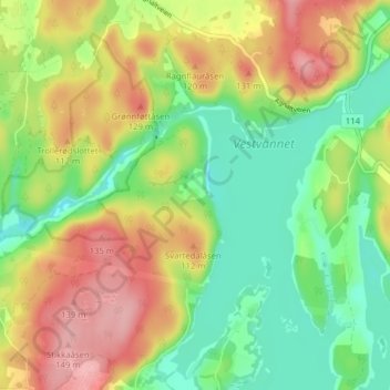
Name: Isnes topographic map, elevation, terrain.
Location: Isnes, Sarpsborg, Viken, 1714, Norvège (59.32556 11.01491 59.36556 11.05491)
Average elevation: 69 m
Minimum elevation: 10 m
Maximum elevation: 145 m