
Wingard topographic map
Interactive map
Click on the map to display elevation.
About this map
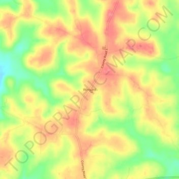
Name: Wingard topographic map, elevation, terrain.
Location: Wingard, Pike County, Alabama, United States (31.81321 -86.16857 31.85321 -86.12857)
Average elevation: 138 m
Minimum elevation: 94 m
Maximum elevation: 168 m