
Thank you for supporting this site ❤️
Make a donation
Make a donation
Air Joman topographic map
Click on the map to display elevation.
Thank you for supporting this site ❤️
Make a donation
Make a donation
About this map
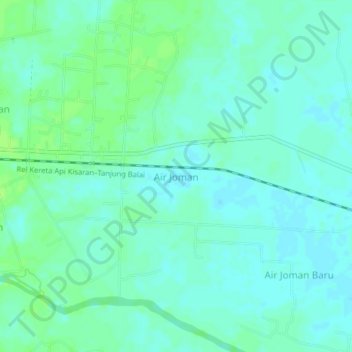
Name: Air Joman topographic map, elevation, terrain.
Location: Air Joman, Asahan, North Sumatra, Sumatra, Indonesia (2.97209 99.71668 3.01209 99.75668)
Average elevation: 5 m
Minimum elevation: -1 m
Maximum elevation: 11 m
Thank you for supporting this site ❤️
Make a donation
Make a donation
Other topographic maps
Click on a map to view its topography, its elevation and its terrain.